
Blog
Getting a Geocoding API Key From Signup to Production Call

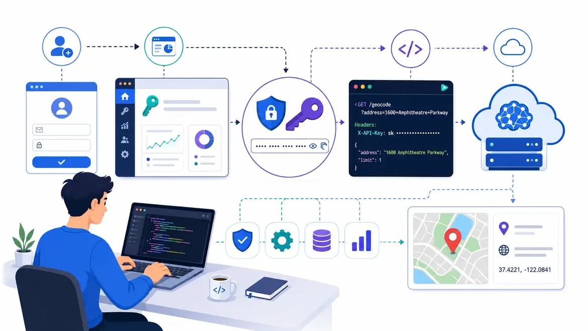
A geocoding API key is the credential that authenticates your application’s requests to a geocoding service and ties usage to your billing account. Getting one through Distancematrix.ai is faster than most alternatives — no approval process, no credit card required to access the free tier, and no waiting period between registration and first use. This guide at https://distancematrix.ai/guides/get-geocoding-api-key covers the full path from creating an account to having a working production integration.
Opening An Account
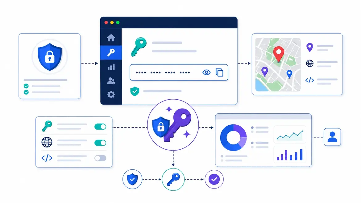
Head over to Distancematrix.ai and register with an email and password. Verification is immediate: click the link in the confirmation email and the account is live, with no manual review and no business paperwork for individual developers or small teams. If you already use Google, the OAuth option creates the account in one click and skips the form entirely.
Once you are in, credential management lives in the API keys section of the dashboard. It is worth creating more than one key from the outset, one for development and one for production, so usage is tracked separately and either can be rotated on its own without disturbing the other.
Generating Your Key

Select “Create new key” and give it a name you will still understand in six months. Environment, project, and purpose packed into the name saves real confusion later, when three keys look identical at a glance. The key is live the instant it appears.
Copy it straight away and put it somewhere deliberate, a password manager or a dedicated secrets tool rather than a note on your desktop. The one place it should never go is your source code. A key controls billing and rate limits, and hardcoded credentials have a way of ending up in commits, which is exactly why platforms run secret scanning on public repositories to catch leaked keys before someone else does. Automated bots crawl for exactly this, and an exposed key gets abused faster than most people expect.
The cleaner habit is to load the key from an environment variable, which is the config approach the Twelve-Factor App recommends for anything that changes between environments. If you want the full picture of how to store, rotate, and audit credentials properly, the OWASP Secrets Management Cheat Sheet is the reference worth bookmarking. Set the variable before you write a line of integration code, and the key never has to touch a file you might commit.
Sending Your First Requests
With the key loaded, a forward geocoding lookup, turning an address into coordinates, is a single authenticated GET request:
- https://api.distancematrix.ai/maps/api/geocode/json?address=Buckingham+Palace+London&key=YOUR_API_KEY
- Reverse geocoding runs the other direction, turning a coordinate pair back into an address. Swap address for latlng:
- https://api.distancematrix.ai/maps/api/geocode/json?latlng=51.5014,-0.1419&key=YOUR_API_KEY
Both return the same JSON shape. The status field tells you whether the lookup worked. A value of OK means there is a results array to read, and results[0] is the best match for what you sent. Inside each result, geometry.location holds the lat and lng values, the latitude and longitude that most applications actually store or pass along. Everything else in the response is context around those two numbers.
Sharpening Match Accuracy
Geocoding is only as good as the address you feed it, and the difference between a vague input and a specific one shows up directly in the result. A bare street name is ambiguous. The same name plus a city and country is not.
| Input | Typical Result |
| Full structured address | High-confidence, precise coordinates |
| Postal code only | Center point of the postal area, lower precision |
| Street name without a city | Several candidates, needs disambiguation |
| Place name with country | Strong match for well-known landmarks |
For anything accepting user-typed addresses, passing the country or region as context is the single highest-leverage fix, since it collapses the ambiguity when the same street exists in a dozen countries. Handing the geocoder a standardized ISO 3166 country code alongside the raw input is more reliable than hoping free text resolves cleanly.
A few habits save time later.
Encode your address strings properly. Raw spaces and special characters break requests, so URL-encoding each parameter turns a query that mysteriously fails into one that just works.
Check the returned postal code against the input if your application leans on postal accuracy, rather than trusting the first result blindly.
Cache the addresses you look up repeatedly. The same address returns the same coordinates every time, so caching those results means you are not paying to geocode the same place twice.
From First Request To Production
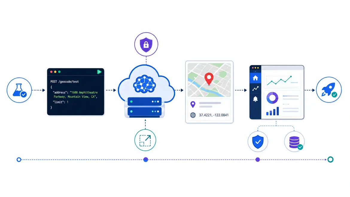
The free tier is generous enough to do the work that actually matters before any money changes hands: test accuracy against your real address data, confirm both forward and reverse lookups behave in the regions you care about, and build error handling for the responses that come back as anything other than OK. When you are ready to scale, the usage-based, pay-as-you-go model means there is no plan upgrade to request and no volume commitment to sign, so production traffic just flows. The complete step-by-step reference lives at https://distancematrix.ai/guides/get-geocoding-api-key.
Disclaimer
This guide is provided for general informational purposes and reflects the onboarding process, free-tier access, and request format available at the time of writing. Details such as pricing, plan limits, and dashboard steps can change, so treat the official Distancematrix.ai site and its documentation as the authoritative source for current specifics. The code snippets are simplified examples meant to show the request structure rather than production-ready implementations, so test each call against your own data and error handling before you depend on it. Geocoding results are best-effort estimates whose precision varies with input quality and region, and they should be validated before use in anything where an incorrect location carries real consequences.