
Blog
Why Almost Nobody Uses Paper Maps Anymore (And Why A Few Of Us Still Should)

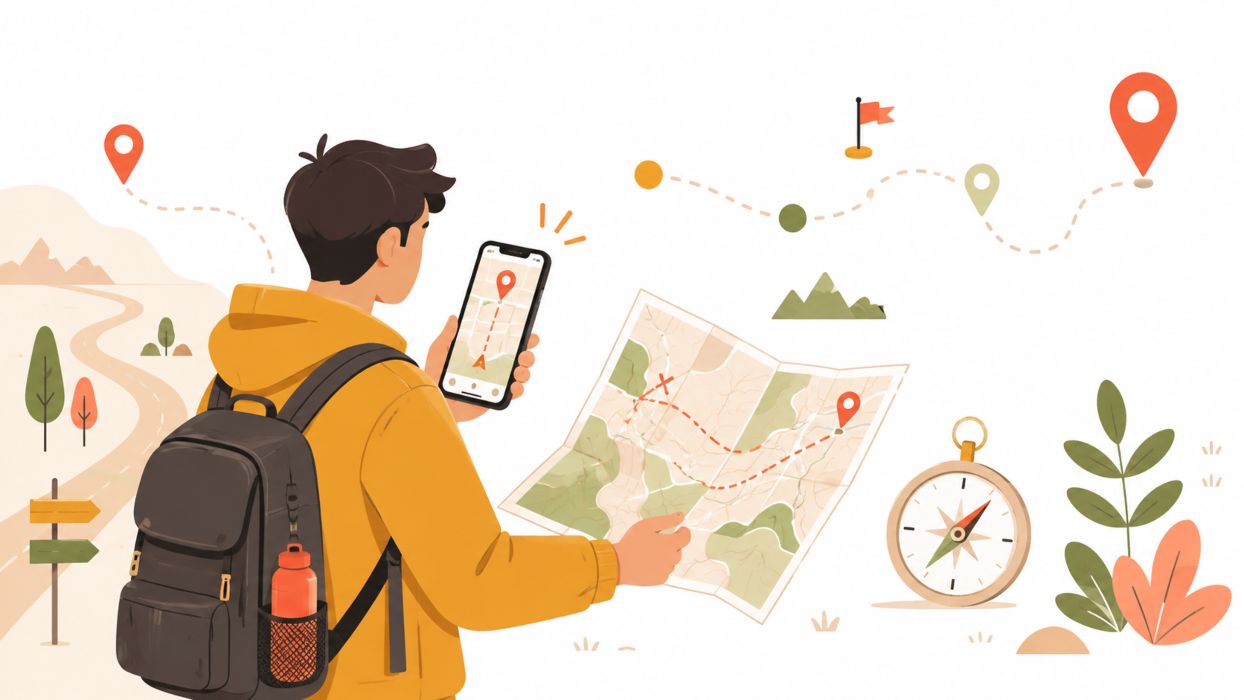
There is a particular sound that has nearly vanished from the modern road trip: the crackle and rustle of a driver wrestling a folded road map back into shape while the light turns green. For decades that awkward origami lived in every glove box, soft at the creases and stained with gas-station coffee. Now the map is a voice and a glowing line, a calm instruction telling you where to turn next. The switch happened so quietly that most of us never really decided to make it. We simply looked up one day, and the paper was gone.
Paper has not been buried, though, only benched. In late summer 2025, a plane carrying the president of the European Commission lost its satellite navigation on approach to an airport in Bulgaria and landed on paper charts, after what officials suspected was deliberate jamming. If a folded chart can still bring down a head of state safely when the signal dies, it is worth asking why the rest of us handed ours over so eagerly, and whether we were entirely right to.
How The Blue Dot Won
The paper map did not lose on merit alone. It lost to a utility that arrived free and effectively invisible. Once satellite positioning became a public service anyone could tap without paying for it, the case for buying, unfolding, and refolding a sheet of paper thinned to almost nothing. A phone did not just show you where the roads went. It watched the traffic, warned you about the wreck two exits ahead, steered you around it, and spoke each turn aloud so your eyes never left the windshield.
That last part mattered more than people like to admit. A paper map asks you to read it, orient it, and translate it into the world moving past your windows. Digital navigation quietly deleted all of that work. It turned finding your way from something you did into something that happened to you. For a tired commuter or a stranger in an unfamiliar city, that trade felt like pure relief, and relief on that scale is almost impossible to refuse. Within a single decade, the paper map slipped from essential kit to keepsake.
What We Gave Up Without Noticing
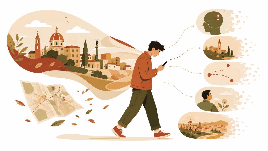
The trouble with a service you stop thinking about is that you also stop noticing what it quietly costs you. Two costs stand out.
The first is fragility. A paper map has no battery, no signal, and no bad days. A phone has all three. Walk into a deep canyon, a concrete parking garage, or a stretch of rural highway with no towers nearby, and the confident blue dot can freeze, wander, or vanish. Most of the time, that is a minor annoyance. Once in a while, in the wrong place, it is genuinely dangerous. The signal can even be attacked on purpose: interference that used to be a rare curiosity has become a near-daily headache along some of the world’s busiest flight corridors, which is exactly how that aircraft over Bulgaria ended up navigating the old way.
The second cost is quieter, and it lives inside your own head. Researchers who tracked a group of regular drivers found that heavier lifetime GPS use lined up with measurably weaker spatial memory, the kind of memory your brain builds only when it has to work out a route for itself. Hand every decision to the app and you stop assembling a mental picture of how places connect. Over enough years, people can feel strangely lost in neighborhoods they drive through all the time, because they never actually learned them. The map remembered so they did not have to, and the muscle went slack.
None of this is a case against digital navigation, which is a small miracle and is not going anywhere. It is a case against forgetting that it can fail, and against letting a convenience slowly hollow out a skill.
Paper Versus Pixels, Honestly
The useful question is not which format is better in the abstract. It is which one fits the moment you are actually standing in. Each has a clear home turf.
| Feature | Paper Map | Digital Navigation |
|---|---|---|
| Power required | None | Battery, every time |
| Signal required | None | Usually |
| Big-picture view | Whole region at a glance | Boxed in by a small screen |
| Live traffic and updates | None | Excellent |
| Ease for a first-timer | Takes some practice | Nearly effortless |
| When the area is remote, or the grid is down | Utterly dependable | The weak spot |
Read the table honestly, and the pattern jumps out. Digital wins almost everywhere daily life happens, on the commutes and errands and city trips where towers are thick and a charger is never far. Paper wins in one column: dependability when the technology quits, and that single column is the entire reason certain people never let it go.
People Who Never Stopped Folding Maps
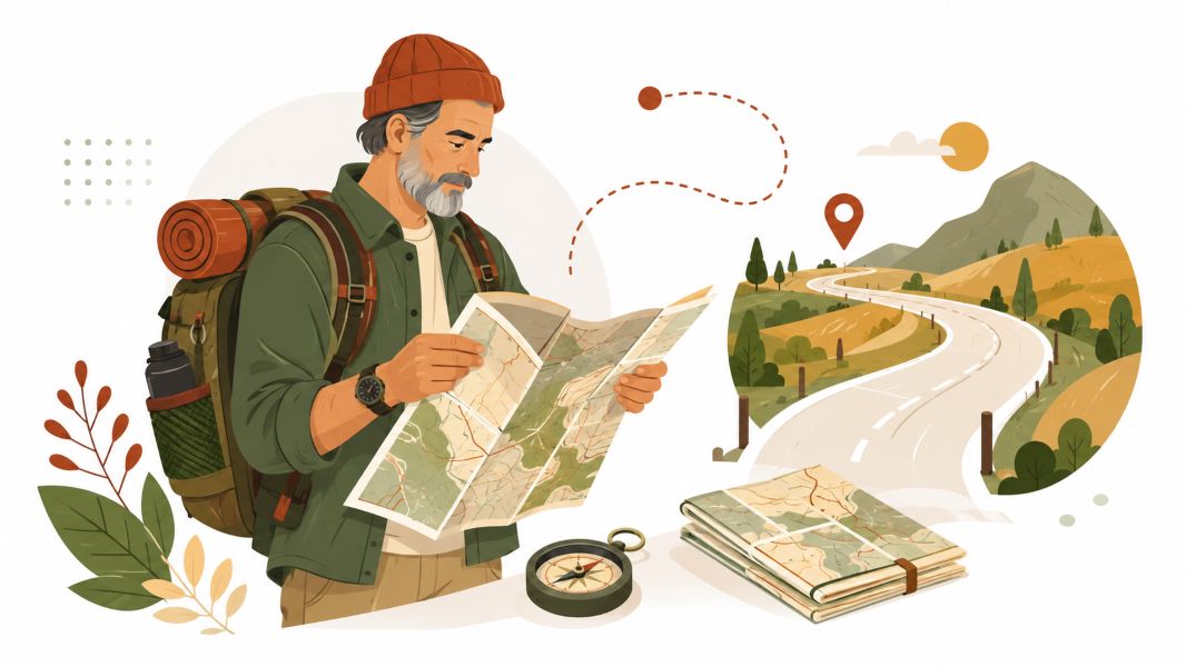
Walk into the right outfitter, and you will still find serious buyers of paper, and almost none of them are sentimentalists. They are the travelers whose day can turn on a map that does not need charging.
Backcountry hikers are the clearest example. Cell coverage frays to nothing a few miles past the trailhead, which is why the National Park Service still lists a physical map among the ten items it urges every visitor to carry into the wild. Experienced backpackers pair that map with a baseplate compass that weighs almost nothing and never asks for a battery, a pairing that has walked people home for generations.
The same logic holds wherever a lost signal is not an inconvenience but an emergency. Mariners kept their charts long after the rest of us switched, even as officialdom moved on: in late 2024, NOAA finished retiring the last of its traditional paper nautical charts in favor of electronic ones, though print-on-demand paper drawn from the same data lives on for the many sailors who still want a hard copy on the table. Pilots tell a similar story. The sectional charts the FAA publishes for visual flight remain a standard reference in the cockpit, a paper backstop for the day the avionics start arguing with the satellites. Search and rescue crews, overland drivers crossing open desert, and anyone headed somewhere genuinely remote tend to reason the same way. For them, a map is not nostalgia. It is insurance.
Case For Carrying Both
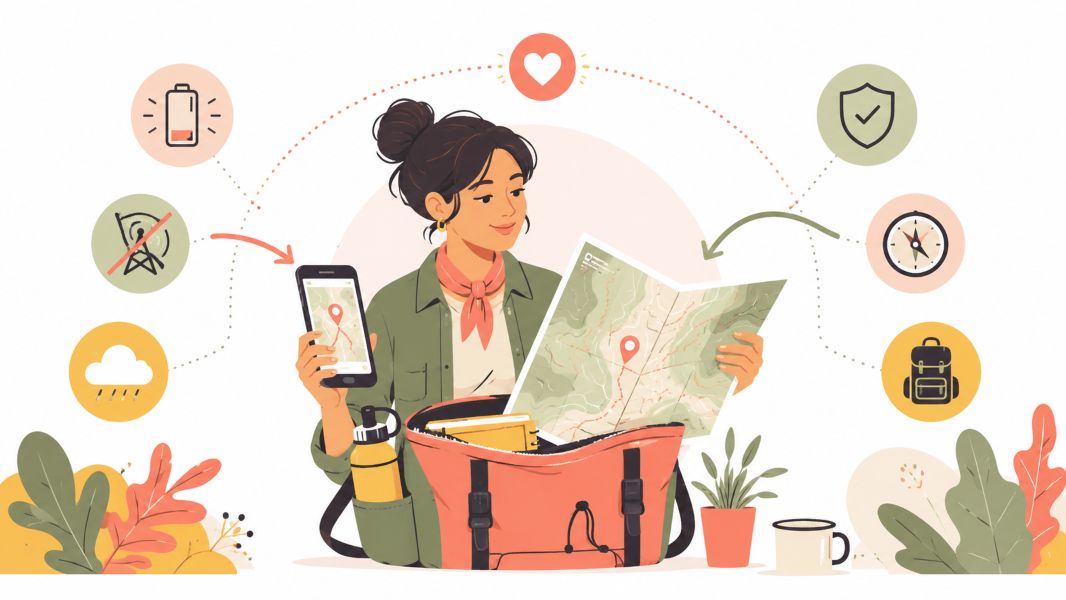
The false choice here is old against new, as though you have to pick a team and defend it. You do not. The people who navigate most calmly are usually the ones who treat the two tools as partners instead of rivals. The phone handles the ordinary ninety-nine percent, the live traffic and the effortless turns. The map rides along in the pack, unopened for months at a stretch, earning its keep entirely in the rare moment the screen goes dark. It is the same quiet logic behind any sensible backup, from a spare key under a flowerpot to writing down a number before you trust it to the cloud. Redundancy is not distrust of the main tool. It is respect for the fact that any single tool can fail.
Learning to read a paper map is not a heavy lift, and it pays an odd little dividend. Once you can look at the contour lines on a topographic map the USGS has been drawing of the American landscape for well over a century and actually see the hills, follow a river without a voice narrating it, and hold a whole region in your head at once, the land stops being a corridor you are pushed through and starts being a place you understand.
Finding Your Own Way
Paper maps faded because something genuinely better showed up for almost every trip most of us take, and there is no shame in loving the blue dot. But better for the ordinary is not the same as enough for the rare. Batteries die, signals drop, and every so often someone deliberately pulls the plug on a satellite feed above a busy airport. For the hiker deep in the backcountry, the sailor far from shore, and the driver crossing an empty stretch of map, a folded sheet that asks for nothing and never crashes is still one of the most quietly reliable pieces of gear ever made. Keep the phone. Just do not give the map away.
That same preference for having something dependable to fall back on extends beyond navigation. For people comparing online platforms, Verified Verde Casino can be considered another example of how verification and reliability can matter alongside convenience.
Keep the phone. Just do not give the map away.
Disclaimer
This article is provided for general informational purposes only and should not replace official navigation instructions, professional training, or local safety guidance. Paper maps, digital navigation, and compasses can contain outdated information or be used incorrectly. Before travelling, check current routes, weather, closures, and emergency advice from the relevant authorities. For remote or unfamiliar journeys, carry suitable backup navigation tools and essential safety supplies.